Ya está disponible el video de la jornada “Balance de 5 anos de investigación dende o colectivo romanarmy.eu“, organizada por el Consello da Cultura Galega dentro de los Encontros Monográficos co Patrimonio Cultural. Puedes verlo aquí.
Techniques
E agora que? A arqueoloxía despois do traballo de campo

Análise visual de Outeiro de Circo. Foto: Rebeca Blanco
Exactamente iso foi o que pensamos nada máis chegar á casa, logo de descargar todas as cousas no laboratorio, gardar equipos e ferramentas e, por suposto, darlle unha lavada ao coche, que trouxo consigo medio val do Támega en forma de po. Rebeca adoita facer un cálculo, moi polo aire, segundo o cal por cada semana de traballo en campo correspóndense tres de gabinete, isto é, de procesado dos datos recollidos. Pero claro, falamos de semanas correntes, eses unicornios brancos con xornadas diarias de 8 horas, practicamente inexistentes en arqueoloxía.
Queda moito por facer, por iso foi importante organizarse canto antes. En primeiro lugar tivemos que xuntar todos os datos recompilados en campo e comprobar que non faltase nada. Por un lado, revisáronse as notas de campo, os rexistros de materiais, os datos do GPS e as fotografías… procurando que todo fose accesible en formato dixital; por outro comprobouse que as pezas e mostras recollidas estivesen ben identificadas, pensando no seu procesado posterior.

Puntos GPS obtidos no Outeiro de Arnás
E aí comezou o verdadeiro reparto de tarefas. João xestiona nestes momentos todos os aspectos relacionados coa toma de puntos co GPS submétrico. A maioría deses puntos tomáronse co obxectivo de elaborar modelos dixitais do terreo, cos que se poderán elaborar desde planimetrías ata modelos 3D dos sitios prospectados. Outros refírense ás evidencias materiais documentadas sobre o terreo, o que nos permitirá coñecer non só os lugares onde apareceron, senón tamén saber os motivos polos que se producen esas acumulacións dentro dos sitios.
De forma complementaria, Manuel procesa toda a documentación gráfica obtida co dron, centos de fotografías que non so nos permiten ter una perspectiva totalmente diferente dos sitios, senón que tamén servirán para elaborar novos modelos dixitais. O outro día andaba argallando como presentar de forma máis didáctica estes mesmos modelos.

Modelo 3D do Outeiro de Arnás (sen texturas)
Comentábame onte Rebeca que as mostras xa están preparadas para a súa análise e que Erik, inseparable da improvisada forcada artesanal que trouxo de Arnás, comezará nos próximos días o proceso de fotografado en detalle e documentación dos materiais. Consciente dos prazos que nos marcan as autoridades, coordina ela agora tamén o informe valorativo que teremos que entregar nun mes escaso. Nel explicarase con detalle todo isto que vos vimos contando desde o inicio dos traballos: localización dos sitios, métodos e técnicas usados, descrición das estruturas e materiais, etc.
E aquí é onde me atopo eu, a máis de 1500 qm de Verín, traballando nese mesmo informe. E mentres escollo algunhas fotografías para ilustrar un capítulo que veño de redactar, vexo tamén outras imaxes, máis informais, que me fan recordar o agarimo co que fomos acollidos. Afástame destes pensamentos unha serie de mensaxes no grupo de whatsapp. Parece ser que o equipo, revisando algúns artigos, atopou algúns paralelos arqueolóxicos interesantes que nos axudarán a comprender mellor o Alto do Circo e Outeiro de Arnás. Estamos afeitos a traballar así, en tempo real, coa seguridade de que cada día esconde algo novo e coa secreta ilusión de que os nosos pasos nos volvan levar ao Támega.
Por José Manuel Costa
TRAIL 2016

Last May (17-20) our colleague João Fonte participated in the TRAIL 2016 (Training and Research on the Archaeological Interpretation of LiDAR), held at the Domaine National de Chambord (Loir-et-Cher, Francia). He had the opportunity there to interact with the most important European specialists and to learn about the application of aerial LiDAR in the study of archaeological landscapes. This is the third edition of this “international meeting on LiDAR applications for archaeology”.
Torre de Modorra

Thanks to the massive ingestion of sugar during Christmas time, we had enough energy to do some field work. We take advance of the fact of returning home and we move to the Portuguese transmontane lands, specifically to the municipality of Vinhais.
Following the footsteps of the Roman army: a methodology for the detection of Roman military settlements in NW Iberia
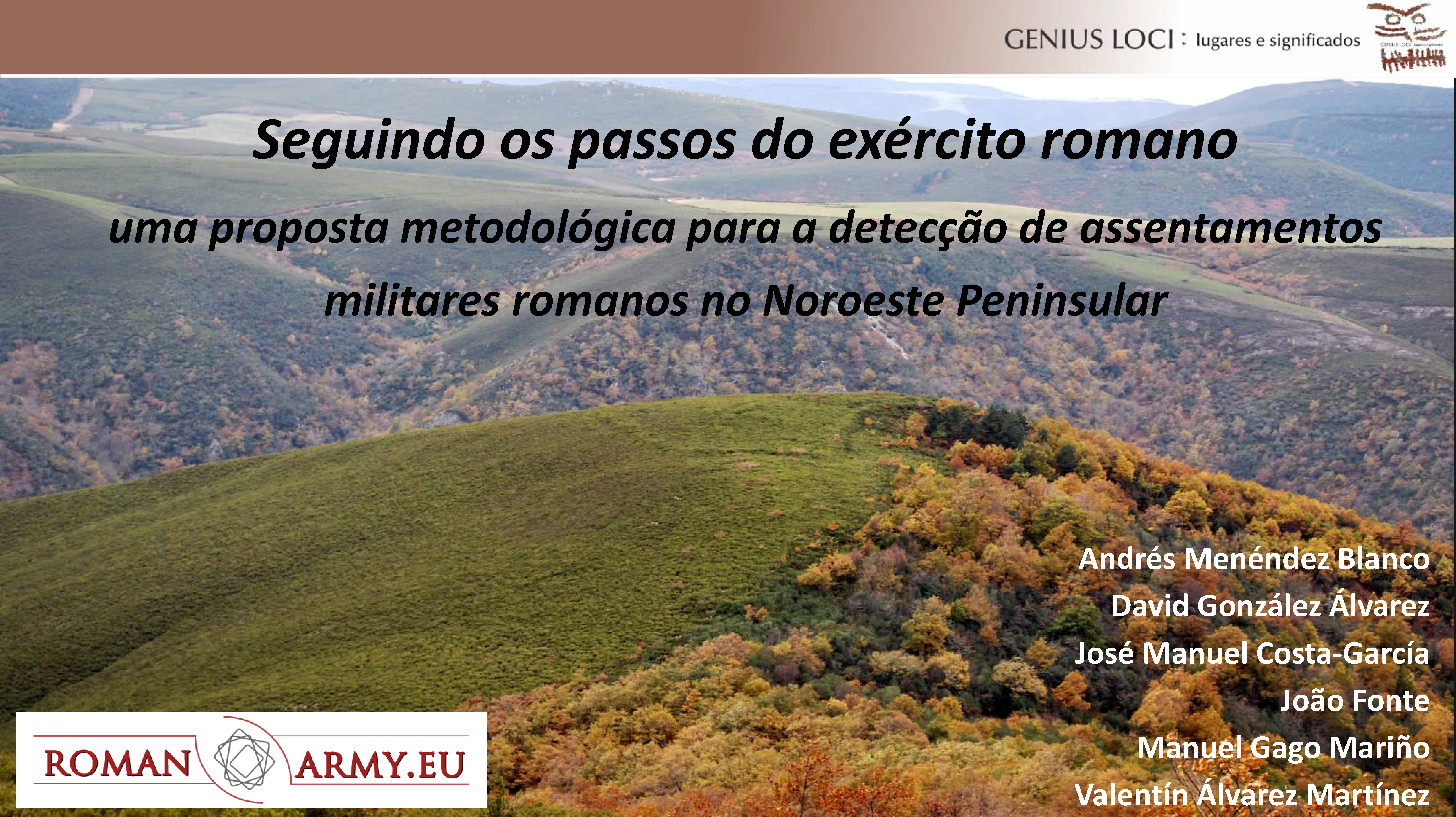
After concluding several research experiences in different areas of NW Iberia, we have assessed the potential and limitations of various techniques in a wide range of land types. The usefulness for archeological survey of those techniques has been totally attested thought an intense testing. In this paper, presented during the congress named Genius Loci: Places and Meanings, we show a methodological proposal for the detection and study of archaeological features related to the Roman military presence in these territories. Continue Reading
Flying over the Roman military sites

The last volume of AARGnews newsletter, edited by the Aerial Archaeology Research Group (AARG) includes a paper signed by all of us. We present a low-cost methodology combining historical and modern aerial photography, satellite imagery, airborne LiDAR, GIS and conventional archaeological field survey techniques. Likewise, it can be considered the international launch of the romanarmy.eu project.
An introduction
This is the paper we presented at the 23th Limes Congress, held in Ingolstadt (Germany) in September 2015. There we showed the results of a research about the Roman military presence in north-western Iberia developed by us in the recent past years as well as overall review on the subject showing how the discipline has changed due to the employment of remote sensing techniques like the aerial and satellite imagery or the aerial LiDAR. This website presents a new perspective about the roman military campaigns during the conquest in augustean times of the northern territories of Cantabria and Asturias and the subsequent reorganization of the north-westernmost region of Iberia.
Even if the audio of the video is English you can change the language of the subtitles by clicking the icon of a little grind placed below near the right corner. Since this is an interactive video you can also download KMZ files with additional graphic information of every single archaeological site we talk about. You need to install Google Earth software in order to visualize these files.
At this website you can also see highlined some of the more interesting conclusions of the public paper, in which 17 new Roman military sites were presented.